Vivian Lake from Salt Creek Falls Trailhead

Vivian Lake from Salt Creek Falls Trail Head

This hike has multiple waterfalls to enjoy!

Basic Information (from GPS)

  • Driving Distance – 1.45 minutes
  • Hike Distance – 3.85 miles
  • Hike Duration – 1 hour 45 minutes
  • Elevation Gain – 2048 feet (guidebook says 1600ft)

Why Vivian Lake

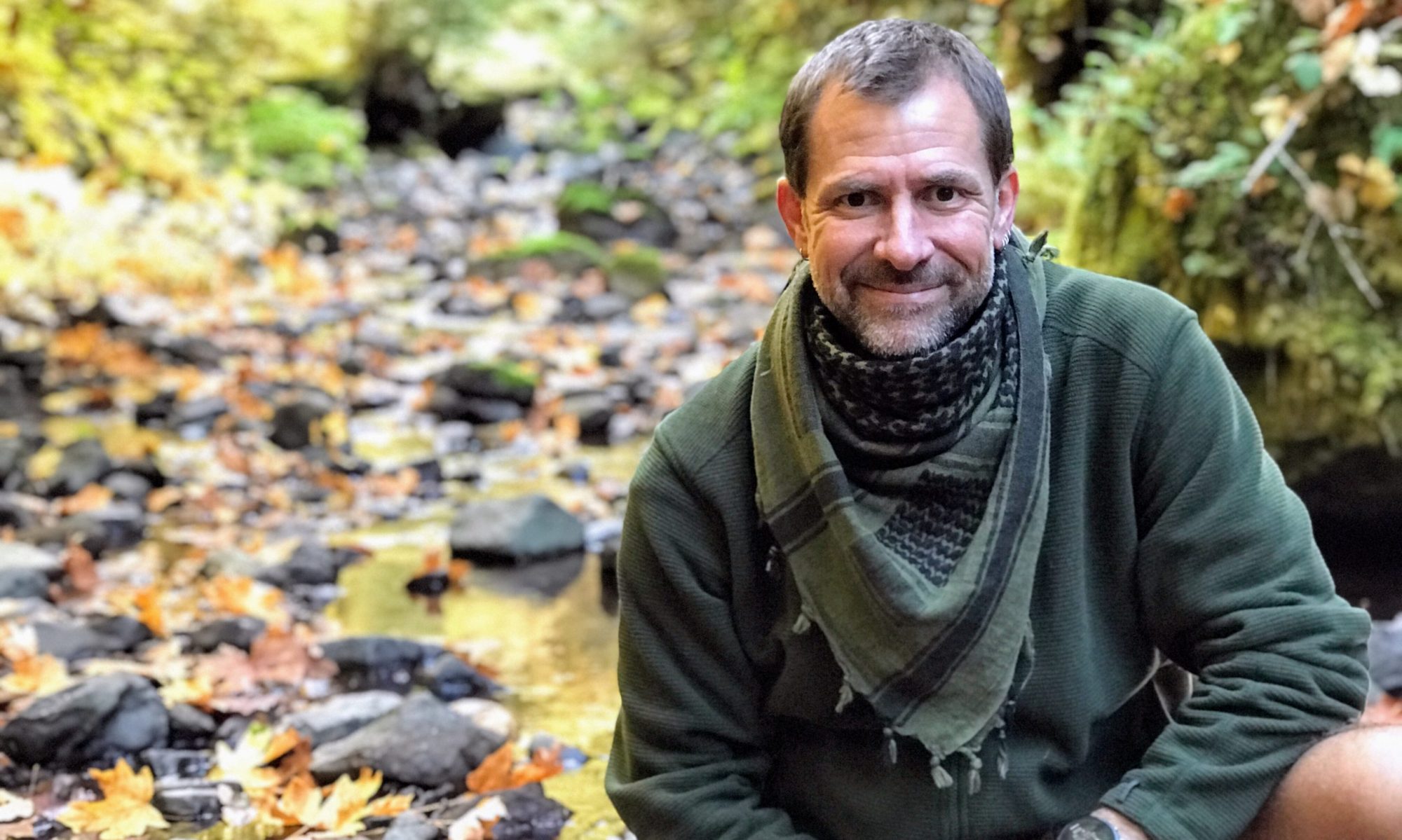
I had tried hiking into Vivian Lake some 17 years ago from the top down, however, we never made it that far due to the attacks of what seemed like trillions of mosquitoes. The farthest we made it was Notch Lake…sad, I know. Last month, I decided I would hike to Vivian Lake after work on a Friday. I began planning the overnight backpacking trip. There were two requirements that had to be met that eliminated a myriad of beautiful choices. The first was based on having a clean car – I really didn’t want to have to drive miles and miles down a gravel forest service road, even though that would lead to an easier hike. The second condition was that the drive distance from door to trailhead needed to be under 2 hours, especially since I was leaving after work. Vivian Lake met the requirements.

The Trip

I am a pretty active individual and I felt that hiking the 1600 foot elevation gain (as stated in a trail guide) would be no problem. I knew I would make it there pretty close to dark, so I made sure I had the headlamp within easy reach in my pack. I arrived at the trailhead at about 7pm and started hiking. The parking lot was pretty empty, which was interesting because the parking is also for Salt Creek Falls, which is the second highest waterfall in Oregon. Trailhead at Salt Creek Falls

I ended up skipping Salt Creek Falls and Diamond Creek falls on the way in because I wanted to get to my destination. I hiked about 1.2 miles in the woods and arrived at a set of active train tracks. I stopped to take a few pictures, but looked dumb in them, so I only kept the one of the tracks themselves. Once I crossed the tracks, I pressed on until I came to a road. The trail didn’t cross the road this time. I followed this road to our left using a topo map on my iPhone to find the actual trail. It turned out that immediately on the west side of the tracks, the trail forked in an unnoticeable way. It wasn’t to far off course, however, it made my skills at navigation, from 24 years of being a Surveyor, appear quite weak. Railroad Tracks at trail trossing

I moved onward and upwards, still in the deep woods, until I came to Fall Creek Falls. I took a quick peek and moved on. It was shortly after this that it was dark enough to put on the headlamp. I hiked for some time and almost looked for anywhere to camp when I came upon the Vivian Lake Trail that leads down to the actual lake. I started walking through an area of bear grass, which seemed really weird at night by headlamp. image of bear grass by headlamp

I made it to a large camp area, at 9pm, at the beginning of the lake where I set up camp. I tried to take a time-lapse video of me setting up the tent, but it was just to dark for it to be worthwhile to post. Once the tent was setup and the food was hung over a branch way up in a tree, I climbed in and had a little wine and immediately fell asleep. At 11pm I was woken up to a guy and girl talking and shining their headlamps all around. For some reason, they decided to set their tent up close enough that i could throw a rock at them. That was kind of weird. image from within the tent

In the morning, who knows what time, I got up and made a fire with the flint/steel and birch bark from my tenderbox. There was plenty of wood that someone previously had collected near the fire pit. Once I had a really good solid fire going, I boiled water, made an Italian Roast cup of Joe and enjoyed it, next to the fire, as the sun rose, thinking about the hike, life…and the tent that was 20 yards away.  I started boiling some more water for the Mountain House Breakfast Skillet meal I was going to have. While I waited, I took a bunch of pictures of the lake and then ate breakfast.

Vivian Lake - Diamond Peak Wilderness

Once I was done eating and taking pictures, I lazily packed up camp and started the journey to the car. On the way back I stopped at Fall Creek Falls a little longer and stopped at a few other spots along the way to take pictures of the creek. I finally came to the place on the trail where I had made that detour. I kept hiking as I should and came out in such a way at the tracks, it was no wonder we missed the trail on the way in. image of fall creek

When I arrived at the side trail to see Diamond Creek Falls, I opted to see Salt Creek Falls and get on the road. When I arrived at Salt Creek Falls, there was quite a few people and cars there. I headed to the car, put away my pack and went back to the falls for some pictures. I had been here before, in the winter when everything was frozen. I hiked to the bottom of the falls then. That was cool. After I got my big waterfall fix, I headed home, driving off into the beautiful Oregon sunset… image of Salt Creek Falls

Gallery of pictures from the trip…

Map and GPX File

[sgpx gpx="/wp-content/uploads/gpx/VivianLakeFromSaltCreekFalls-Copy.gpx"]

Follow Us

Campfire Citrus Shrimp, Andouille Sausage and Corn

 
Ingredients

  • 1/3 cup fresh lime juice 
  • 1/4 cup fresh orange juice 
  • 2 tablespoons soy sauce 
  • 2 tablespoons honey 
  • 2 garlic cloves, minced 
  • 2 teaspoons fresh ginger, grated
  • 2 tablespoons sugar 
  • 1/2 cup lightly packed fresh Cilantro, chopped 
  • 1/4 teaspoon black pepper 
  • 2-6 ears corn, small ears 
  • 1 1/2 pounds shrimp, peeled and deveined  
  • 4 Andouille Sausage, sliced in 1″ chunks
  • 4 cups couscous, cooked

Notes / Directions

Combine the first 9 ingredients in a heavy-duty, zip-top plastic bag, add the shrimp and marinate for one hour. Place the corn in a such oven, add the andouille Sausage, pour the shrimp mixture over the corn and sausage to cover it.  

At campsite, Place sealed Dutch oven directly on hot coals, or in a BBQ with the coals piled all around the Dutch oven (or cook in a 450° oven if at home); cook 20 minutes. Serve over couscous.

I have a kid who hates seafood, so I used the same marinade recipe for 6 chicken thighs. I poured chicken and marinade from the bag into heavy-duty foil, sealed and placed directly on the coals next to Dutch oven, as seen in picture above.   

Hike to Kentucky Falls

We went on an adventure yesterday! My friend had said that it would be good to get me out in the woods. I am pretty sure she said this because she could sense my restlessness starting to exponentiation as it had been some time since i had done any camping, kayaking, hunting/fishing, or hiking. My love for her rose at the thought that she knew what my restlessness was from and how to fix it.

It was a very blustery day, as Winnie-the-Pooh put it. However, we decided to hike to Kentucky Falls on the North Fork Smith River. We loaded up 5 kids, a dog, and headed out. To get there, I decided to follow my phones navigation instead of my maps. During our journey there the navigation led us through the Coast Range on various logging roads. It finally led us down one that was so overgrown on the edges that it felt more like a 1/2 lane road, or a goat trail. I felt safe knowing I could get there on this path, but if there happened to be a locked gate…it was going to be a very, very long drive back in reverse. I couldn’t help but think about that ordeal, years ago, where a family followed their Google Maps app from California and ended up perishing on some logging road here in Oregon.

We came upon a pretty steep clear-cut area and had to take a picture because of how steep it appeared. As we drove along this old back (logging) road, seemingly forever, the vegetation was so thick on the sides of the road that at times it was rubbing on the roof. It made me all the more astonished when we came upon a little clearing with a burned up car. What was this fella thinking. This really wasn’t some road you take a car on.

The first waterfall didn’t seem that far and it was nice, but we hiked on. All the while we were getting more and more wet. I chose not to bring rain gear because I wanted some idea of what the kids would be facing at any given moment. I stayed pretty dry and warm because of my wool sweater.

When we finally arrived at the lower waterfalls, it was well worth the hike, however, the little ones were totally soaked to the bone and cold. The first thing We noticed was the thundering from all the rain we were having. Next, I noticed that there were two falls cascading over a box canyon wall.

I instantly left everyone behind and went out off the deck towards the middle of the canyon. You had to jump from mossy boulder to boulder trying not to fall in the water. Once out there, amid all the noise, rushing water, waterfall spray, pouring rain and wind, I felt amazed and knew all my needs to get out into the outdoors had just been met. The chaos that was my calm. I was at peace inside once again.

I quickly made my way back to the viewing deck where my fiance had her arms around all the kids like a mother hen, trying to warm their soaked bodies. I gave her a kiss and we all headed back. I realized that I gained 20 pounds of water while I was out in the middle of that canyon. The hike back warmed us up…little. We got to the car after hiking back for 1.5 hours and drove the easier route home with the heat on high.

I am pretty sure we all had a wonderful adventure, and I thank my woman for knowing what I needed and helping me achieve it…as always. I love you!

It felt like we were standing on the edge of the world, with the rain and wind, guess you had to be there...
It felt like we were standing on the edge of the world, with the rain and wind, guess you had to be there…
I used my iPhone navigation that led us over the mountains on logging roads, that at times, were not even wide enough for my goat, let alone our Tahoe. This guy didn't make it.
I used my iPhone navigation that led us over the mountains on logging roads, that at times, were not even wide enough for my goat, let alone our Tahoe. This guy didn’t make it.
one of the wider spots on the trip.
Lower Kentucky Falls
There were a lot of trees this size and bigger.

20150315IMG_6240-exprt_website_sRGB72

20150315IMG_6232-exprt_website_sRGB72

20150315IMG_6231-exprt_website_sRGB72

20150315IMG_6219-exprt_website_sRGB72

20150315IMG_6217-exprt_website_sRGB72

Solo Stove Campfire


The sun came out today and it was glorious. Spring is in the air. I decided to sit outside  today and make lunch with my Solo Stove Campfire.

I grabbed a shirt load of small pine cones, which are everywhere, and got the fire going.  I then put 3 liters of water on to boil. I then waited.

The fluffy clouds were moving to and fro as I watch from the bench I am laying on in the yard. Every time the sun pokes it’s head out, it feels warm all over.

As I lay here, I I hear the wind chime on the porch once in a while. I hear birds and a chipmunk. I hear the bells on my goats collars as they forage around the yard. Wait…what is that I hear??? It’s the wild turkey’s not far away. Reminds me of the little turkey poults and 8 chicks I’m raising in the barn.

Well, after 27 minutes, the water begun to boil and it’s time to add noodles.

What a wonderful day, except, that it could be much better if my friend or children were here with me.

Salt Creek Falls

Salt Creek Falls

I took a trip to Salt Creek Falls this weekend to see the second highest single drop waterfall in Oregon, which cascades 283 feet. Salt Creek Falls is one of Southern Oregon’s most powerful falls, with an average yearly flow of 50,000 gallons per minute flowing over the rocks. The primary observation platform at the top of the waterfall is only 50 yards (45.720 m) from the parking lot. However, The entrance was snowed over and the gate closed. I parked at the gate and hiked on the snow about 5 minutes to the platform. The platform is wheelchair accessible with railings that accommodate wheelchair sight-lines. A loop gravel trail (Salt Creek Falls Trail #3673) with interpretive signage offers a short hike with multiple vantage points along the canyon rim.
A steep trail from the platform to the waterfall’s base is short, but is not wheelchair accessible due to numerous stairs. The best viewpoint is said to be halfway down this path. I felt it was the very bottom of the falls being blasted by the wind and spray created by the falls. This required leaving the main trail and climbing down a steep section of hill while trying to keep from sliding on loose rock fragments all the way to the waters edge.

Directions:

To get to Salt Creek Falls from Interstate I-5, take HWY 58 about 57 miles to Forest Service road #5893. Once you turn right onto aforementioned road, stay right and continue about 0.5 miles to the parking lot.

I love to be inspired

I love to be inspired…and laying in a chair, reading in the yard, with the goatees nibbling around, can be just what I needed some time.

20140501-185954.jpg